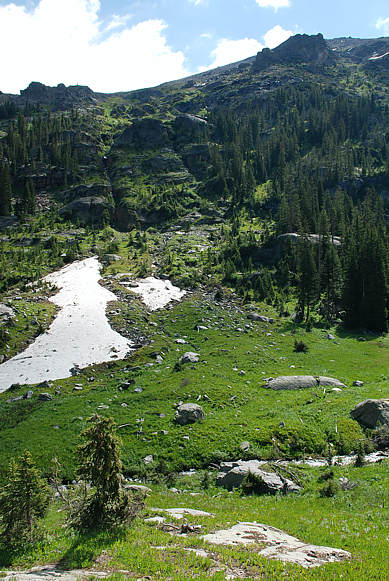
 The old timers looked for the two points shown above
on the shoulder of Arapaho Peak to let them know where to cross Arapaho Creek and find the Wheeler
Basin trail. Scroll down for views looking up Coyote Park (to the right). Because the original trail is
hard to access from here, we climbed between the patches of snow and then cut up to the left below the cliffs.
We were then pretty much at the mercy of following traces of game trails. Scroll down for 5 more images.
Click on a photo to see wildflowers on the way up through the avalanche path.
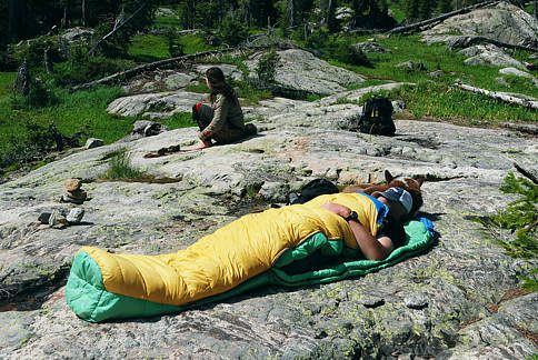 We take a nap here to rest up for the strenuous climb
into the pathless zone into Wheeler Basin. If you have a lot of gear, we recommend that you set up a base camp here
and travel lighter into Wheeler Basin. For our journey, it took us almost 12 hours to get to Wheeler Basin, including
timeout for breaks. It took 9 hours to come back out (the next day) via the blue route shown on the map at the beginning
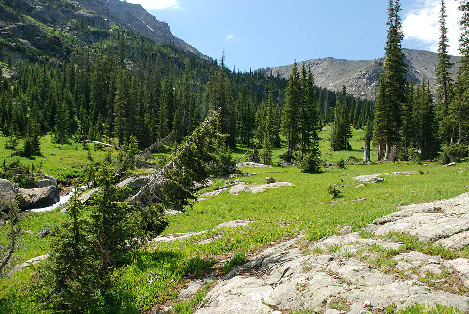
of this trek. There is no bridge across the stream right by here. Scroll down for two images. Click on a photo to
see wildflowers along the snowfield shown above.
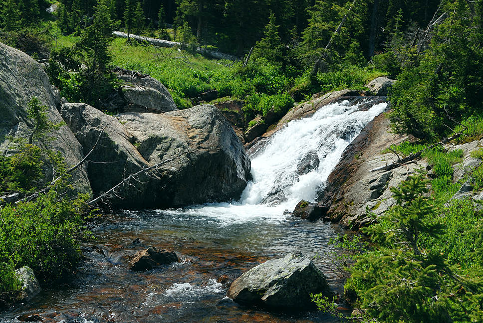
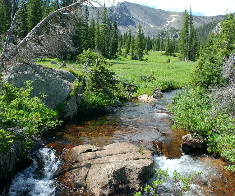
This large stepping stone is our bridge. Scroll down to look down stream
towards Mount George and where the original trail has been lost.
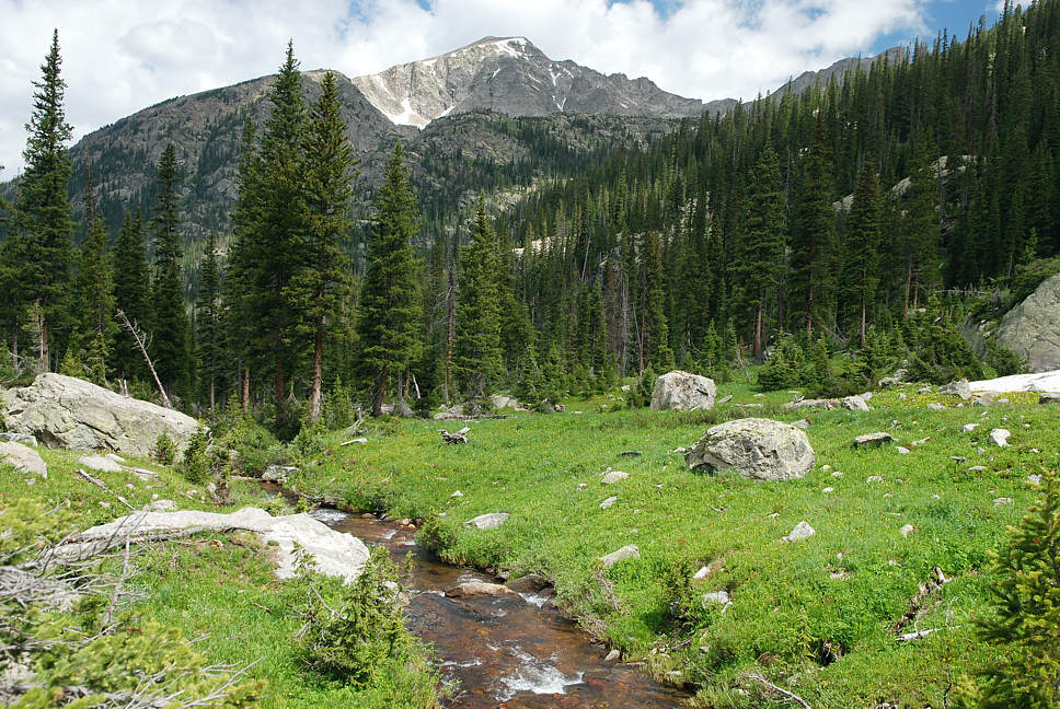
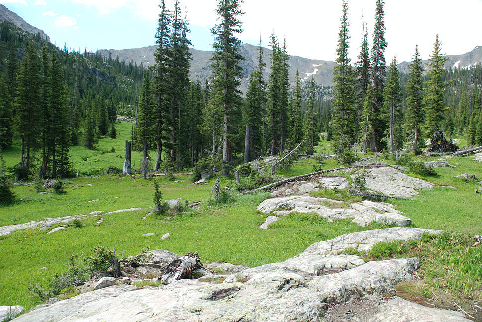
Somewhere in the thick forest ahead, entire mule trains would disappear from view and wind there way up into
Wheeler Basin further up and further in. Coyote Park abounds with wildflowers. Click on photo to admire them
a short ways up to the right.
..
.. Lost trail to WB ..

.. return to Scenery2 list of journeys ..
 The old timers looked for the two points shown above


