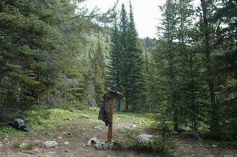
Click on photo to leave the wide Bowen Gulch trail and continue
straight ahead onto the Blue Lake footpath. The Wolverine Mine
(that has been reached by the Model A vehicle that we will show)
is a short ways ahead on the Bowen Gulch trail. The GPS coordinates
for this trail junction are N40º 20.569' W105º 55.673' plus or minus
a few feet. Elevation is approximately 10,200 feet. This is 3 to 4 hours
up from Gaskil at 8,800 feet. Blue Lake is less than an hour away,
and about 500 feet higher.
.. return to Scenery2 page ..